So Urban Utilities has finally come to the game and provided an online GIS (that stands for graphical information system) so that we humble mortals may identify the depth and diameter of their precious underground infrastructure (ie pipes).
Until now we’ve been using the free Dial Before You Dig website to identify what services are located on a property we are interested in, and a Dial Before You Dig is still an excellent tool for identifying whether buried infrastructure might affect your project. So probably run a DBYD first.
Now, if there are sewer pipes indicated in the DBYD (in the Brisbane area) then the next step is to head to the Urban Utilities GIS Website to get the details on the buried sewer pipes:
https://urbanutilities.com.au/about-us/who-we-are/asset-gis-information
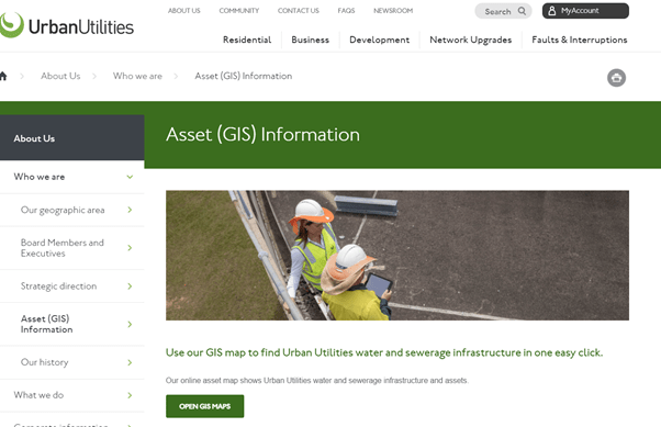
Click on the Open GIS Maps link and away you go.
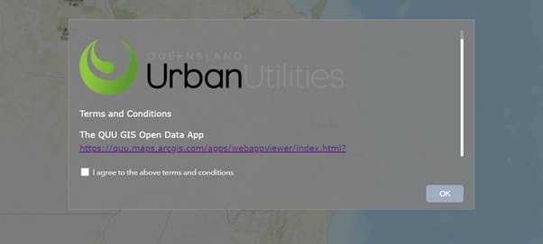
Click “I agree to the above terms and conditions.”
Type in an address in the search bar.
Click on a line (a sewer line) or a circle (a sewer access hatch) and you’ll be able to identify the depth and diameter of the Urban Utilities sewer infrastructure near you (so long as you are in an area serviced by Urban Utilities).
If your property is mid-way between two access hatches, you’ll need to interpolate the depth of the pipe between the two known invert levels because Urban Utilities does not give invert levels along pipelines – only at specific connection points and bends.